Land Administration
Overview
Job Growth
N/A
Duration
N/A
Avg. Salary
N/A
Career Paths
N/A
Program Description
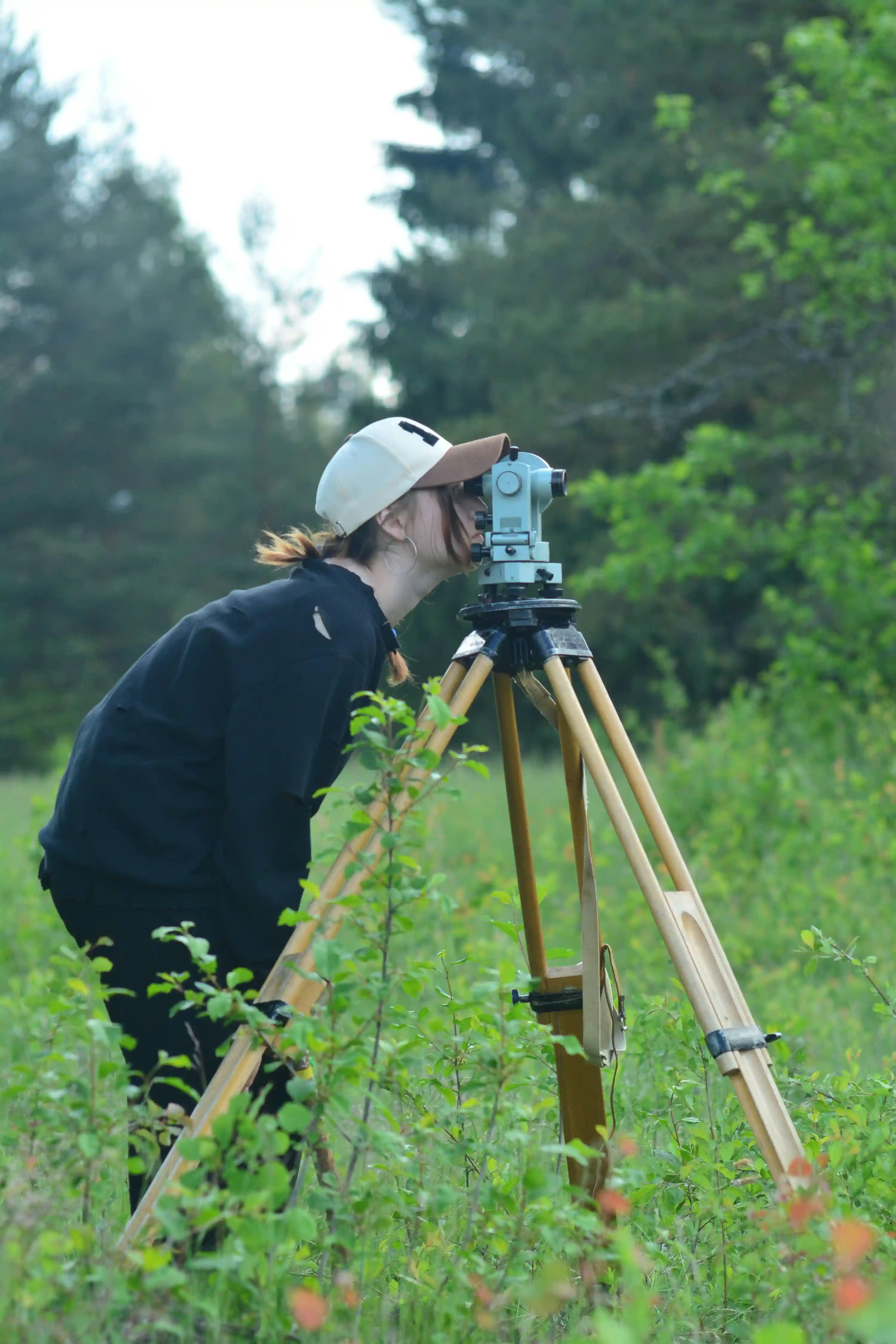
The Land Administration programme teaches how land and property are managed, mapped, and regulated. You will study surveying, land law, geographic information systems, land valuation, land use planning, and environmental impact assessment. The course mixes classroom learning with fieldwork, using tools like GPS, CAD and GIS to measure and record land. Graduates work as surveyors, urban planners, land officers, property managers, construction managers, and environmental consultants. This programme opens doors to public service, private firms, and international projects, and gives you practical skills to shape cities and support sustainable development. It is ideal for students who like maths, technology, and solving real world problems.
Aims & Objectives
Develop accurate surveying and mapping skills using modern field instruments and GPS.
Master the principles of land law, tenure systems, and land registration procedures.
Understand and apply GIS and spatial data management to support land use decisions.
Create practical land use plans, valuation reports, and environmental assessments.
Manage land projects by applying project management, documentation, and ethical practices.
Why Choose This Program?
High demand and clear career paths
Strong need for surveyors, land officers, and planners in Ghana due to urban growth and infrastructure projects.
Hands on fieldwork and practical training
Regular site visits and mapping exercises build real skills you can use from day one.
Pathways to professional certification
Routes to join professional bodies and obtain licences that improve job prospects and earnings.
Direct impact on national development
Work that supports housing, roads, utilities, and sustainable land use across Ghana.
Industry links and internship opportunities
Collaborations with government agencies, surveying firms, and construction companies for placements.
Skills & Tools
Skills You'll Develop
Use total stations, GNSS receivers, and leveling equipment to collect accurate field measurements.
Use ArcGIS or QGIS to analyse spatial data, create maps, and manage cadastral databases.
Produce technical drawings and cadastral plans with AutoCAD and Civil 3D for planning and construction.
Apply BIM tools like Revit for integrated planning, design coordination, and infrastructure modelling.
Plan, schedule, and document land projects using MS Project or similar tools and produce professional reports.
Tools & Resources
ArcGIS
QGIS
AutoCAD and Civil 3D
Revit (BIM)
MS Project or Primavera
Challenges & Tips
Challenges
Difficult mathematics and technical subjects
Heavy workload combining theory and fieldwork
Tips & Advice
Join study groups, use online tutorials, and ask teachers for extra help early.
Create a weekly schedule that balances classes, assignments, and field practice.
Video Guide
Frequently Asked Questions
Ready to Apply?
Find programs that match your grades and interests - even if you haven't written WASSCE yet
Loading.. Please wait.

Talk to a Professional
Join a mentorship session with real professionals working in your field of interest.
Advertisement